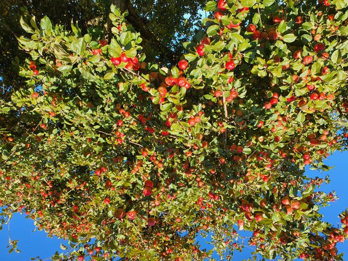
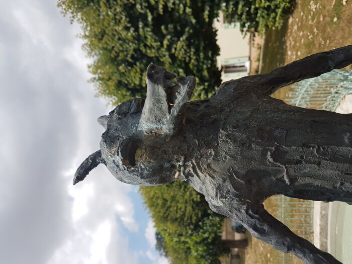
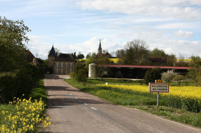
Discover all the sightseeing routes, challenging hikes and short walks in the Aube region of Champagne Sightseeing tours September 25th, 2026 Aube en Champagne 181 results match your search Nearest Alphabetical A to Z Alphabetical Z to A Filter / Search All categories Bicycle Touring Camping car tour Champagne tour Commuter bike tour Convenient tour Countryside tour Couples walk Cultural tour Cycling road Equestrian GPS Drawing Gastronomic route Historical tour Motorcycle ride Mountain bike ride Natural tour Pedestrian Religious tour Road course Tour for people with reduced mobility Trekking Unusual tour Walk All difficulty Very easy Easy Medium Hard All distance < 10 kms 10-20 kms 20-50 kms 50+ kms Clear filter Search View cart ( ) View map View CIRCUIT DES VERGERS DE CHAMPCHARME MARAYE-EN-OTHE Difficulty: moyen Distance: 13 km To see on the way: The tourist stop of Boulins This halt is a site imbued with a certain poetry with its vast pond with dark water and its old Champagne washhouse built in 1884. In the late season, when the foliage of the trees that surround the lake... View View CIRCUIT DES VOIRLOUPS MARAYE-EN-OTHE Difficulty: difficile Distance: 19.08 km The Circuit des Voirloups 20 Km. Departure from Maraye en Othe. The old forest of Othe has born, in the heart of its deep thickets, particularly evil beings who, for centuries, have held under their formidable domination. These human beings, men and ... View View CIRCUIT DU BALCON DE L'ARMANCE ERVY-LE-CHÂTEL Difficulty: facile Distance: 11.7 km View View CIRCUIT DU BOUTOIS VILLENEUVE-AU-CHEMIN Difficulty: facile Distance: 7.3 km Discover this small village and enjoy the Boutois, one of the streams that feeds the Armance. General level - 7.8 km. Way marked in both directions. It is strongly discouraged to use the hiking trails during the hunting season. DOWNLOAD THE CIRCUIT I... View View CIRCUIT DU CHAOURÇOIS CHAOURCE Difficulty: difficile Distance: 18.47 km A circuit to discover Chaource, its historical and grastronomic treasures. Sport level - 18 km. Way marked in both directions. It is strongly discouraged to use the hiking trails during the hunting season. DOWNLOAD THE CIRCUIT IN: MORE INFORMATION View View CIRCUIT DU CHEMIN DE LA MÉMOIRE NOGENT-EN-OTHE Difficulty: facile Distance: 3.74 km With its vast thick forests, crisscrossed with simple communication routes, the Pays d'Othe quickly appeared as a sanctuary likely to house bases for the fight against the occupier. A command post was established in the heart of the Villiers forest a... View View CIRCUIT DU COURSANNAIS COURSAN-EN-OTHE Difficulty: moyen Distance: 12.52 km A circuit that follows the paths of the communes of Coursan-en-Othe, Racines and Montfey. Regular practicing level - 12 km. Way marked in both directions. It is strongly discouraged to use the hiking trails during the hunting season. DOWNLOAD THE CIR... View View CIRCUIT DU FROMAGE CHAOURCE Difficulty: facile Distance: 9.2 km View View CIRCUIT DU SENTIER DU FER BÉRULLE Difficulty: facile Distance: 6.17 km A discovery circuit lined with interpretation panels showing the exploitation of iron in the Middle Ages in Pays d'Othe. Departure from Bérulle, 6 km, 2 hours. It is strongly discouraged to use the hiking trails during the hunting season. DOWNLOAD TH... View View CIRCUIT DU VAL D'ARMANCE ERVY-LE-CHÂTEL Difficulty: facile Distance: 27.7 km View Previous Next Previous 1 … 2 3 4 5 6 7 8 … 19 Next